10. To check our progress let's open our new MAP file in OziExplorer. We'll get our digital elevation data shortly, but it's best to make sure everything works up to this point.
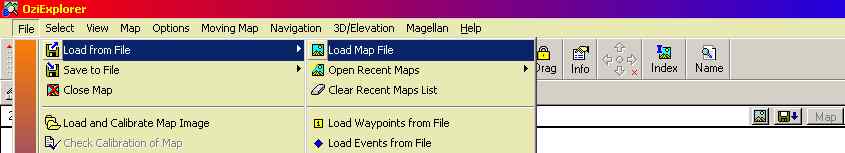
Open up OziExplorer TRIAL (remember?), click on "File", then "Load from File", then "Load Map File". Next select the new map you just created.
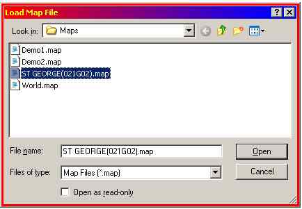
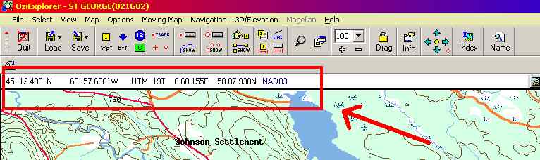
Click on "Open" and you'll see your calibrated map. As you move the mouse over the map you'll see the bearing display changing. This means everything worked!
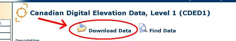
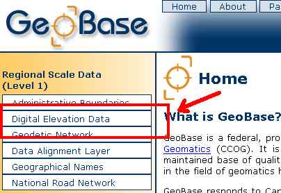
11a. The next thing needed is digital elevation data for our map. This will come from the GeoBase website. Most populated areas of Canada are covered in 1:50000 scale, however there are gaps - see here for your province. Enter the site and click on the "Digital Elevation Data" link.
From here select the "Download..." option.