


6. We are going to use Toporama maps and images exclusively in this tutorial. OziExplorer needs to know the exact location of a number of points on any file used - this is termed "calibration" and is crucial for the correct display of bearings and elevation data. Calibration can be tedious but luckily Dave Patton has written a wonderful little program that totally automates this process. Download DRGMapCal here. You'll need WinZip to extract the program. You can place DRGMapCal in any directory you wish; I put mine in the OziExplorer folder just to keep everything in one place.
7a. Time to visit Toporama to get a map. Enter the site then start "zooming in" to your area of interest on the big Canada map.
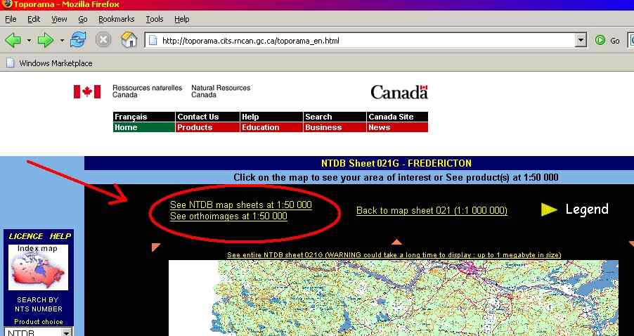
As you zoom in, pay attention for the above noted text. We want 1:50000 scale as it provides the best detail. When you see this, click on it and your area map will be covered with the grid designations for individual maps.
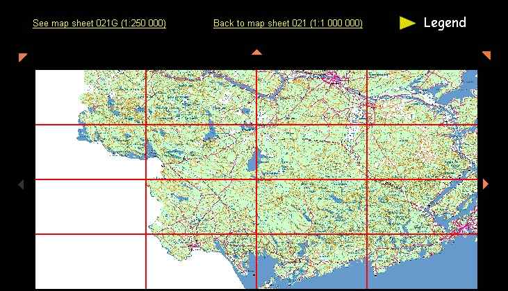
Click on the map you want from the grids.